")
")

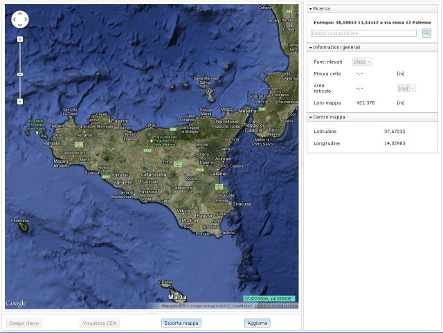
Service on-line of Google Earth/Maps
Irriworks introduces the new DEM Surveying service in order to produce the 3D model of terrain directly from Google Maps cartography. The service is free.
This service, provided on-line, allows you to create and save the DEM file (digital format for 3D representation of terrain, very used in carthography) once located the area to survey. The maximum surveying area is 1000-1600 Ha and the accuracy goes from 1/9 arc-second to 1 arc-second depending on the area because the accuracy depends by Google Maps service.