")
")


The survey
- Hits: 148732

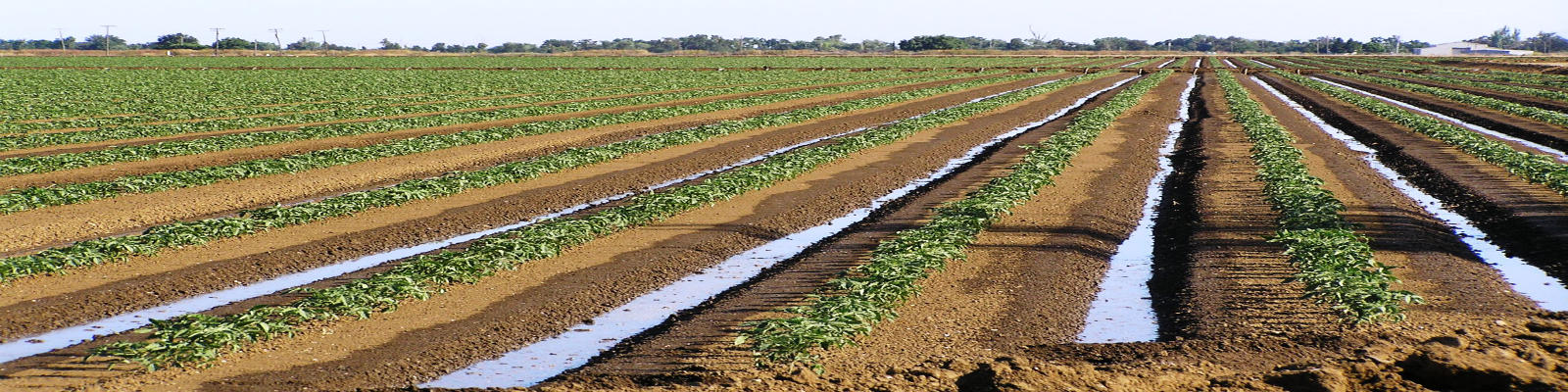
The first phase of each project involves the surveying. It 's the process that describes the size and geometry of the network (in addition to determining the slopes of the pipelines) and, absolutely, is the longest and delicate.
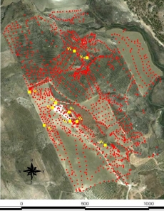 The longest because it can last from a few days to several months (In figure, a survey obtained after 3 months of work) depending on the size of the land and the required precision.
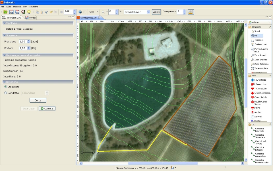
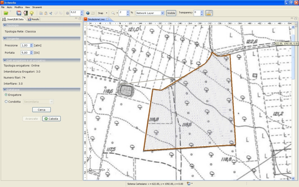
Once you have made the survey it will contain the planimetric information (such as shape and size of the sector) and altitude (the altitude at each point detected). Knowing the elevations you can calculate the slopes of the pipeline: at present no instrument except IrriPro, manages to consider the slopes for each part of pipe and the elevations of each emitter. The only information used by third-party software is slope value, which is considered constant for the entire length of the pipeline: this produces gross miscalculation and incorrect project. IrriPro, by contrast, allows you to take into account in hydraulic calculation all planimetric and elevation data that describe the terrain: each part of pipe will present the right slope, and each emitter will be placed at the correct altitude. Furthermore, in order to make it easier and fast as possible the acquisition of 3D terrain model, the software offers three different ways to enter data:
| Extracting 3D model of the land through the service of Google Maps | Processing contour lines and known elevation point in scale | Importing CAD files with recognition of the contours and shape of the field |
 |  |  |
The surveying service of Google Earth/Maps, included in IrriPro software, is also available on-line at this link.
Further on, are described in more detail, the technology and the method behind the survey through Google Maps.


 IrriPro is available with
 IrriPro has a CAD-style user friendly interface, designed to be used by engineers, agronomists and other technicians. They have all the analisys tool needed to estimate the consequences of any design choice and to represent the trend of any physical parameter.
 The DB is not a list of passive elements, but a way to make the most of the software using existing material on the market.
